
Need a land survey? You’ve come to the right place.
SPG Land Surveyors is a licensed land survey company and your trusted local surveying partner LOCATED in Watkinsville, Georgia.
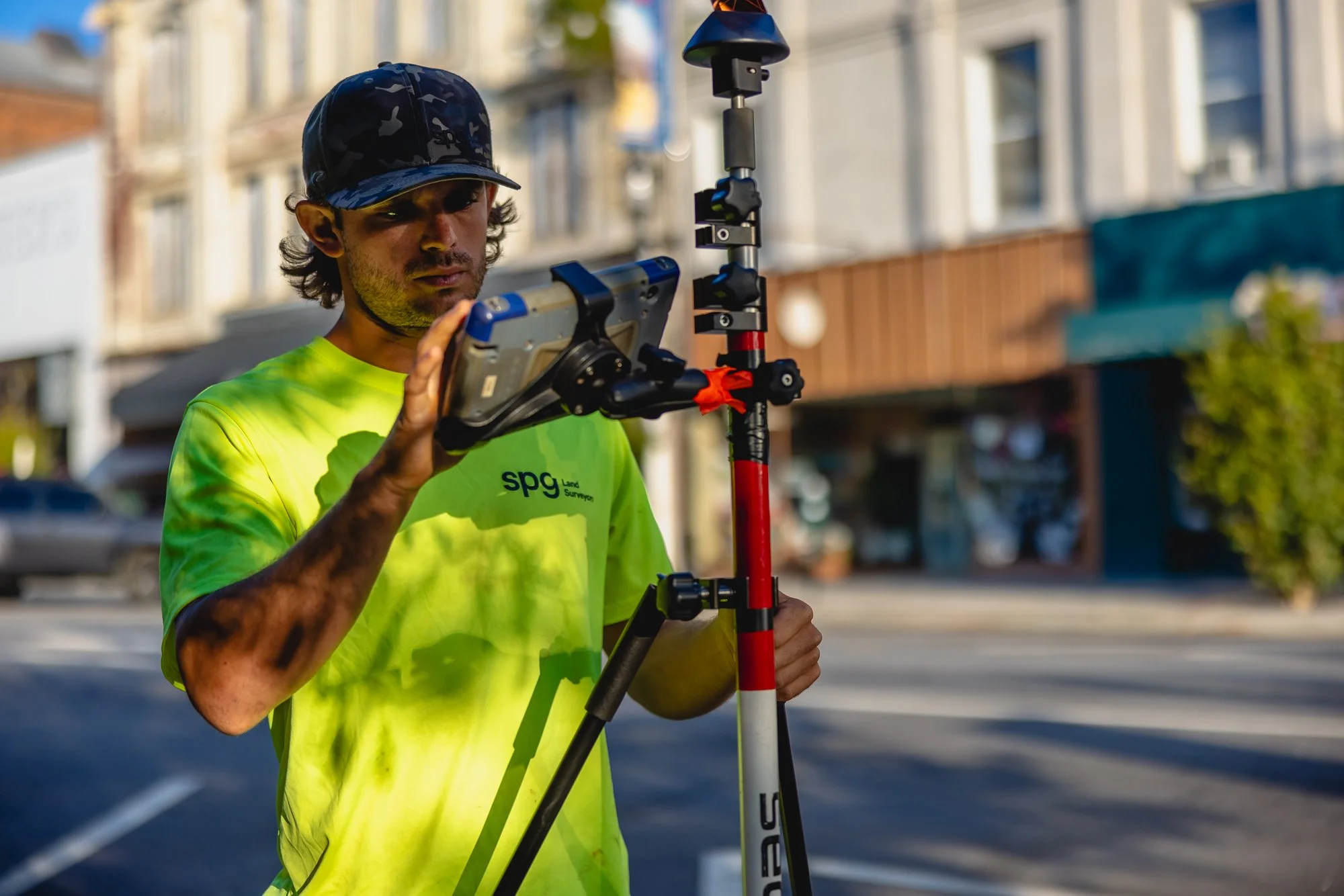
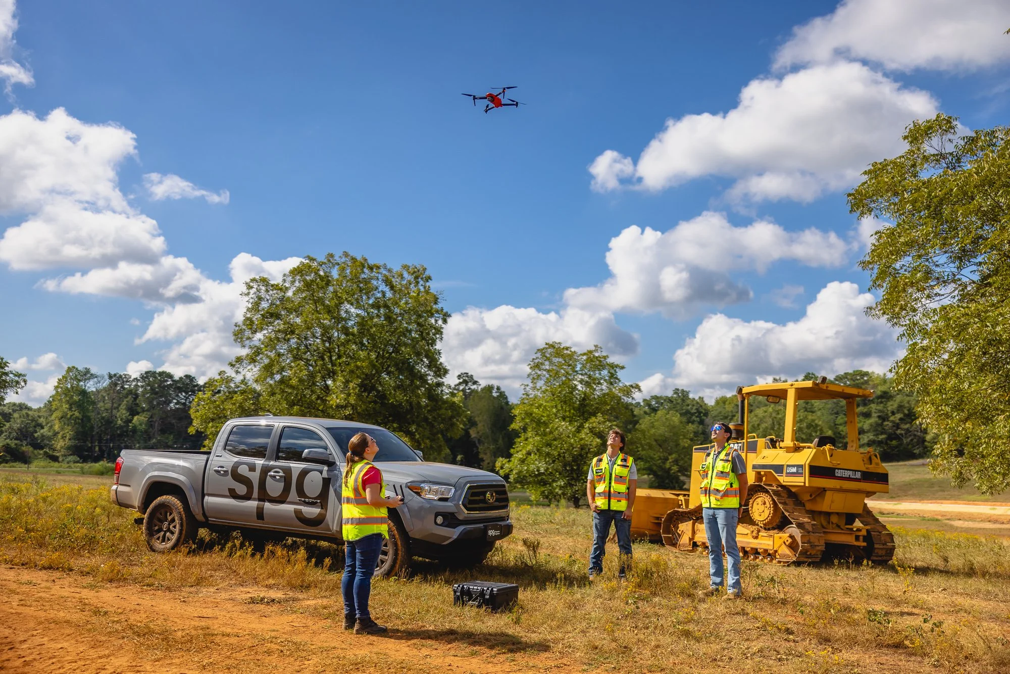
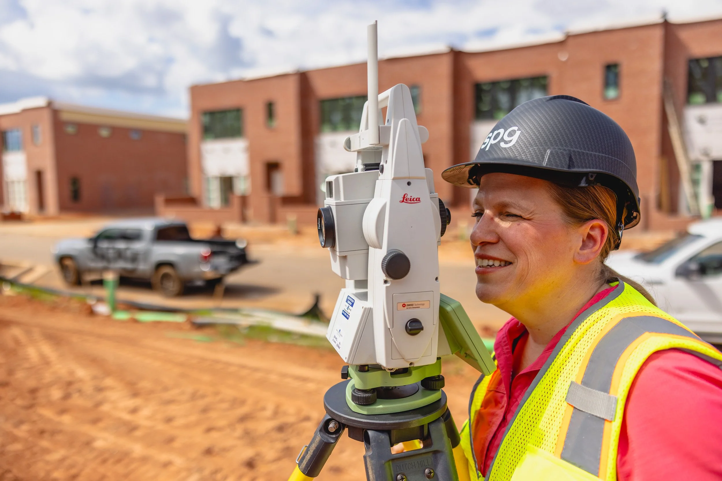
We specialize in delivering accurate, reliable, and comprehensive residential and commercial land surveying services such as boundary surveys, subdivisions, topographical surveys, site plans, volume calculations, and more.
We also offer specialized services such as ALTA Surveys, 90 Degree Projection Surveys (for US Army Corps of Engineers owned lakes such as Lake Hartwell), FEMA Flood Certificates, FEMA Letters of Map Amendment. Whether you're building a home, resolving boundary disputes, or need drawings for commercial permits, we provide high-quality services to meet all your surveying needs with the utmost precision and care.
On completion of your survey, you will receive a comprehensive detailed report and we will take time to ensure that all of your questions are answered so that you are completely informed and satisfied with our work.
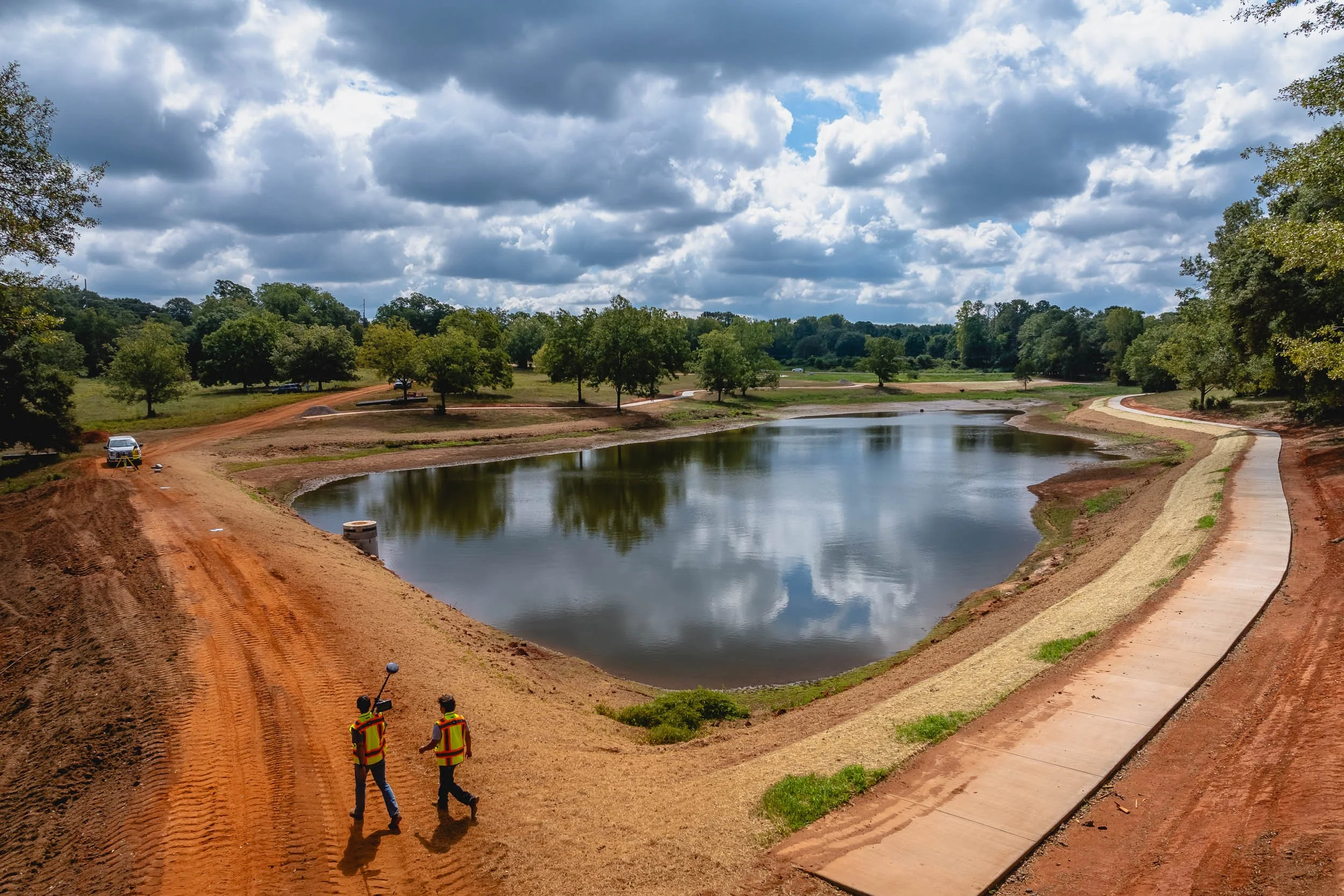
Accurate results.
Comprehensive service.
Customer focus.
Local expertise.
Every project, every time.

OUR TEAM
Aaron Blomberg, PLS Director
Cole Brown, LSIT Project Manager
Natalie FloydOffice Coordinator
Daniel Wood, EITSurvey Coordinator
Sasha HowardCrew Chief
Wesley HuffmasterCrew Chief
Reese BaileyField Technician
COLLABORATORS
Chris Tarver Drafting Technician
I have worked with many engineers, but have yet to meet someone who is as professional and helpful as Aaron Blomberg at SPG Land Surveyors. Not only did he turn things around amazingly quickly, he went well above and beyond what I would expect from someone I hire... I don't usually vouch for people online, but honestly, they deserve it. And did I mention that he did great work, and a strong price point? Use this company, you won't be disappointed.
- Customer Testimonial
Cost
Land surveying is a highly specialized service and each project is unique. Land surveys are priced on complexity rather than lot size, and several factors are considered:
Existence of previous surveys and quality of those records
Date land was partitioned
Topography
Ground level visibility
Obstacles such as fences, buildings, markers, or monuments
Our surveyors use precise instruments and adhere to strict regulatory standards, ensuring accurate and reliable results. Additionally, the process involves thorough research and detailed reporting. An investment in quality land surveying ensures your project's success and compliance with all necessary regulations.